FMC calls for purchase of Mt Cook Station

On the east bank of the Tasman River lies Mount Cook Station, doorway to seldom-visited central parts of Aoraki/Mount Cook National Park (AMCNP). The station is a privately-owned farm. Public access for recreation winds around its margins, crumbling in places, no vehicles allowed. The door is effectively shut.
The station has recently been put on the market, and there’s an opportunity to expand public access to the adjacent national park. Crown purchase of the approximately 2,700 hectares would be akin to throwing open the door to all trampers, bird-watchers, climbers, and sightseers, not just those with time, hardiness, or cash for a helicopter ride in.
Federated Mountain Clubs (FMC) speaks for New Zealand’s backcountry and outdoor recreation for over 80 clubs, 20,000 members and another 300,000 regular visitors to our wild places. Its president, Robin McNeill, recently wrote to Prime Minister John Key urging government purchase of Mount Cook Station.
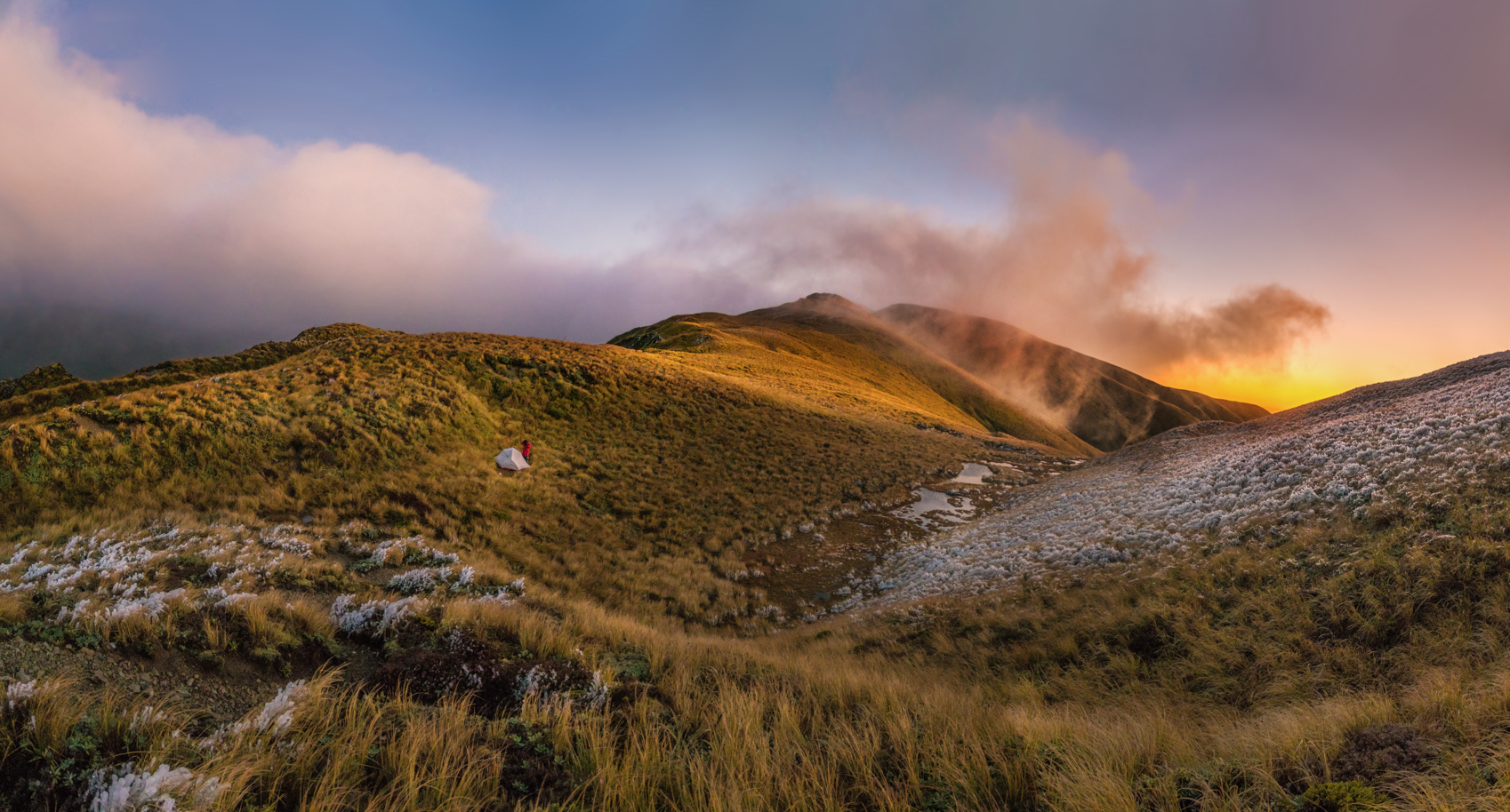
Aoraki/Mount Cook is an impressive peak. On a benign day it’s monolithic; in a storm, it looks outright malevolent. Regardless of the weather, if you’re near, your eyes are drawn there – it’s the anchor for the national park, in Ngai Tahu legend, the turned-to-stone eldest son of Rakinui and Pokoharua-Te-Po. It’s a reference point in our national psyche.
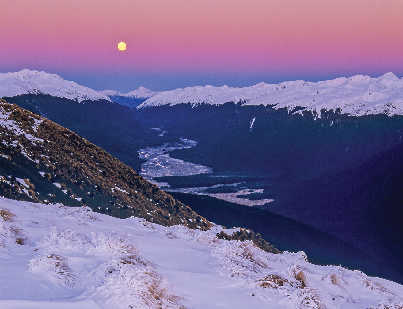
Most visitors stay within cooee of Aoraki in the western corner of the park; getting there is easy on well-engineered State Highway 80. AMCNP’s sweep is greater than what’s reached on that easy asphalt strip, though. Much of the central snow-topped area in South Island satellite maps lies within the park, Aoraki’s brothers, according to the legend, on their upended canoe, Te Waka o Aoraki. The national park stretches northeast from Aoraki as far as Mount D’Archiac, often visible from State Highway 1 north of Ashburton.
* * * * *
The thing about entry to AMCNP is that presently there’s just that one simple way in – SH80 to Mount Cook village on the Tasman River’s west bank. Bridging the river to open up central AMCNP terrain is a bridge too far in terms of cost and engineering in this dynamic environment. A little upstream, the Tasman used to be an easily-crossed glacier, but it’s now melted into a formidable lake and that west-east crossing option is history. Roads lead into yet other parts of the park, but they range in quality from rough to near on impossible.
This is where Mount Cook Station comes in. It’s on the Tasman’s east bank. Below the farm, well-maintained – and scenically superb – Braemar Road carries visitors directly from Lake Tekapo. Above the farm, AMCNP and other conservation lands waft opportunities for mountain biking, climbing, tahr hunting, etcetera. The station all but stops most visitor movement into those public places – ways in being deterringly long or expensive – but if acquired by the Crown, would expedite it.
The central part of what’s probably our best-known national park could be enjoyed by big numbers of people if there were welcoming and practical road access through this crucial area.
* * * * *
FMC’s 20,000 members are trampers, climbers, people who cherish backcountry recreation. Quick access to AMCNP at Mount Cook Station would bring joy to their hearts and get skis and boots on the ground. Recreational tahr hunter numbers would soar if the present 20km trudge to their highly-rated patch were replaced by 4WD access on stable ground.
Add: sightseers, mountain bikers, school groups, photographers, tourists, campers, the 4WD community. Aoraki’s magnificent eastern faces, his brother peaks, and glaciers, streams, and alpine features are up for appreciation and exploration once you’re in this part of the park.
Corollaries are visitor needs and the potential for commercial operations to fill them. Practically, this means outdoor education, accommodation, guiding, transport, conservation work, and other local services. It’s a short step from korero about improving national park access to consideration of sympathetic economic opportunities.
* * * * *
FMC’s primary desire is guaranteed quick, flexible public access into central AMCNP, forever. There are, however, very good bang-for-buck reasons for the Crown to invest in the whole property, additional to economic knock-ons.
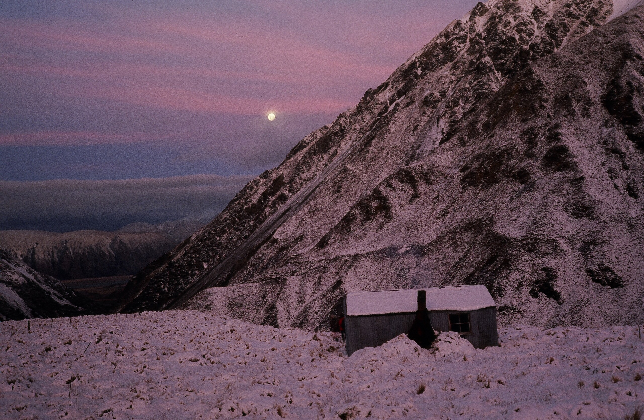
Mount Cook Station has a singular history characterised by extremity: it’s a place of testing conditions and blinding beauty, of farmers deeply committed to the land and the super-fine merino fleece it cultivates. Part of our national self-image is crystallised there. Historic and present farming values are high and management for ongoing farming and recreation is more than possible. The vast Molesworth Station’s example shows how these values can be co-managed with conservation.
Because, while the farm’s actual conservation values are unremarkable, it has a notable contribution to make to the Mackenzie Basin: the removal of its wildling trees. Pest trees threaten the Mackenzie’s landscape, agriculture, and biodiversity, and the Department of Conservation has declared war on them. Mount Cook Station is at the top of the seed source, with trees thick on much of the property. Public ownership would be a chance to hit a seed-production engine-room.
* * * * *
In the end, Mount Cook Station is a relatively small block to easy entry into largely unknown, spectacular sections of Aoraki/Mount Cook National Park. Crown ownership is key to opening the door. A cascade of opportunities including recreation and conservation support will follow visitors who can easily enter this part of the park.
Through the station, up-valley, it’s striking country, dominated by eastern aspects of the nation’s foremost peak. It’s ours. Everyone should be able to access it and enjoy it. Federated Mountain Clubs is calling on the government to turn the opportunity into reality.
Share This Story, Choose Your Platform!

Latest News
FMC has lodged its submission on the Conservation Amendment Bill, with detailed comments and recommendations on nine key issues.
FMC, the New Zealand Deerstalkers Association, and eight other leading outdoor recreation organisations have submitted jointly on the Conservation Amendment Bill.
FMC has submitted about the lack of consultation with FMC or other outdoor recreation groups about the disposal of the Evangeline Bivvy in Lake Sumner (Hora Kura) Forest Park.

